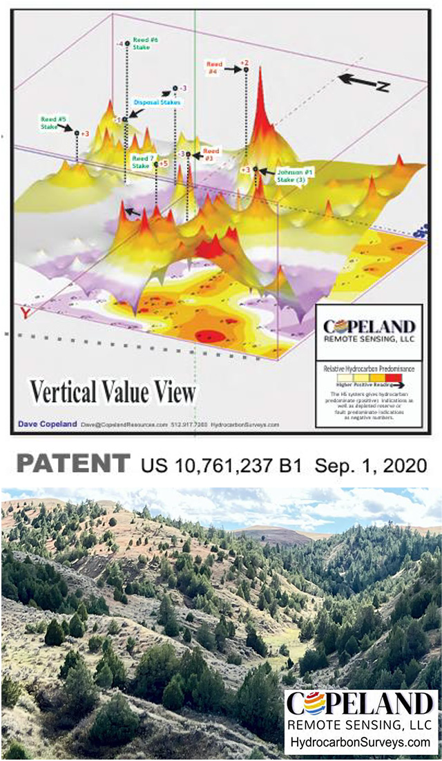
Copeland Remote Sensing offers a cost-effective patented technology for locating hydrocarbons below the point of surface measurement. It is a powerful tool to assist operators in profitably developing their lease positions.
Data acquisition on the surface is taken from an off-road vehicle and hydrocarbon readings are gathered in a grid pattern at specified intervals using proprietary sensor equipment and software program. The operator and equipment stay in the vehicle with only 30 seconds needed for each surface reading (land or water). Depending on terrain conditions, up to 200 acres per day can be surveyed.
After field readings are obtained, data interpretation, mapping and presentation have a short turn around time with results supplied in formats imported by most mapping software.